My original intention was to go Pingo skiing, or at least go over to a Pingo, actually one in particular that has a name, Aklisuktuk, and a few others that start to appear about 95 kms up the ice road. We spotted Aklisuktuk (Growing Fast) Pingo on the way up, which was interesting as the following article (http://arctic.synergiesprairies.ca/arctic/index.php/arctic/article/view/2530 ) provides a good history to this particular feature. Actually it was original intention to stop at this one and ski over to it but the unseasonably mild weather conditions changed that plan to go right to Tuk.
Pingos, are a hydro / geological feature that exhibits itself only in regions of permafrost with plenty of either ground or open water (seasonal) to build from. Good old Wikipedia has a nice working definition
A pingo, also called a hydrolaccolith, is a mound of earth-covered ice found in the Arctic and subarctic that can reach up to 70 metres (230 ft) in height and up to 600 m (2,000 ft) in diameter. The term originated as the Inuvialuktun word for a small hill. A pingo is a periglacial landform, which is defined as a nonglacial landform or process linked to colder climates.
By fortunate happenstance we ran into the trekker from Japan that had left Inuvik about 9 days ago about 4 kms from Tuktoyaktuk. We stopped and said hello and congratulated him on getting to town. So I saw him just as he left Inuvik, about one third of the way along and just as he was reaching his goal. More than likely I’ll catch up to him sometime on his walk back to Inuvik.
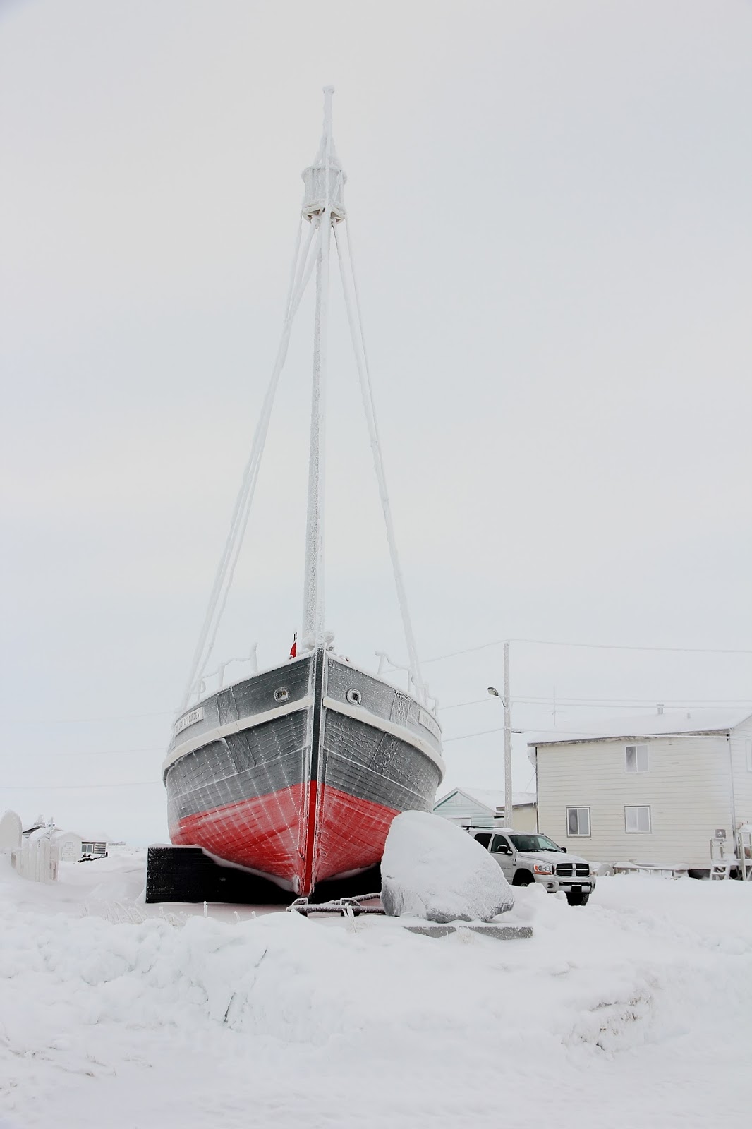
We drove around the town site for a while as It has been about 10 years since I have been to Tuk. Things haven’t changed too much but, of course, economic downturns have shuttered a few more buildings, sad to say that the Tuk Inn is no more. We then went over to the start of the north end of the Tuk / Inuvik highway, which is also the roads to the sewage lagoon and picked a spot to ski over to the Pingos nearest to town.
Well…part of that ski was on Sewer Lake but hey it was frozen and the manager of the Northern Store had no qualms snowmobiling over it, enough said, lol. A quick 2 km ski got us to the base of the Pingo – actually the one that shows up in photographs the most (getting to it in the summer would be problematic at best as its almost entirely surrounded by open water) . While larger than most in the area is it not the largest but is often mistakenly referenced as such, especially in images. Though it was my intention to ski the Pingo, a paucity of snow did not make that at all feasible, so we booted up it, in variable snow. Even though the lighting was a bit flat the view as panoramic and good.
Whilst standing on the top of the pingo, having made a perilous ascent of the steeper north face, we noticed a vehicle stopping by the truck and people getting out. This was a bit odd but I wasn’t too worried as – its’ Tuk and it’s not like anyone is going to break in. after a fashion we spotted a person ski –joring with two dogs along our track. By this point we were headed down and back to the where we had left the skis.
We got the gear on and were sking back along the lake when the person came over a small rise and down towards us. It turned out to be a couple of peopole doing pretty much was we were – drving to Tuk and looking at pingos. Christian was his name and he was going to be guiding some tourist trips up the Dempster and ice road to Tuk and he was checking things out in advance of the tours he was going to be working. Frederique stayed behind in the vehicle as he was sans skis and dogs. Both of them were “adventuring” and were great fun to talk with; we met for lunch the following day back in Inuvik. Strange the way that things work as the only day that we decide to take skis all the way up to Tuk to go over and up Pingos is the only day that some-one else shows up to do exactly the same thing – synchronicity – 3 sets of back country skis al in the same place, ha ha. Actually they saw us on top of the Pingo and followed the road over to where we were parked then followed the ski track.
We took a few more shots around Tuk then slowly headed back onto the ice road and back into the Delta towards Inuvik.
The mild weather and the large still air mass slowing mixing with colder air produced some vibrant mirages that were extremely well delineated and slow enough moving to be able to watch the distortion roll across the horizon in a sinusoidal fashion that lifted and rolled the hills into a wave front feature that travelled from our right to left. We saw this happen 3 times punctuated by more standard mirages that simply elongated the features on the horizon. I don’t think that sort of mirage is typical and requires large calm air layers mixing slowly to form . Either cold air was being trapped near the road surface or warm air was being over laden with cold are moving in from the Delta, temp was about -19 at road level. In any event a really interesting thing to see. When we spoke to our new French friends who were on the road about 10 minutes ahead of us they said that they saw the same effect. It was however expressed much more succinctly as “whoa – I saw that but I hadn’t even been drinking.”
Anyway Kathy had the opportunity to drive the ice road to Tuk, which is something that has a limited future availability to be done. Once the overland highway is completed to Tuk, the ice road, in its entirety, will cease to exist, so it’s a bit of a unique experience. And…180 kms above a moving river and on the Beaufort Sea is not a bad feat for someone who has issues with being on ice over water. I think the signs expressing 40,000 kg load limits helped.
First, some pix from around town, flat lighting that day combined with everything covered in hoar frost made for some challenging shooting...


...and out on the tundra and pingo


Very interesting about the mirage anomalies.... I never would have thought of a cold climate mirage. Do you see "Northern Lights" with great intensity there as well?.... seems like I did see a couple pics on an earlier post.
ReplyDeleteDallas