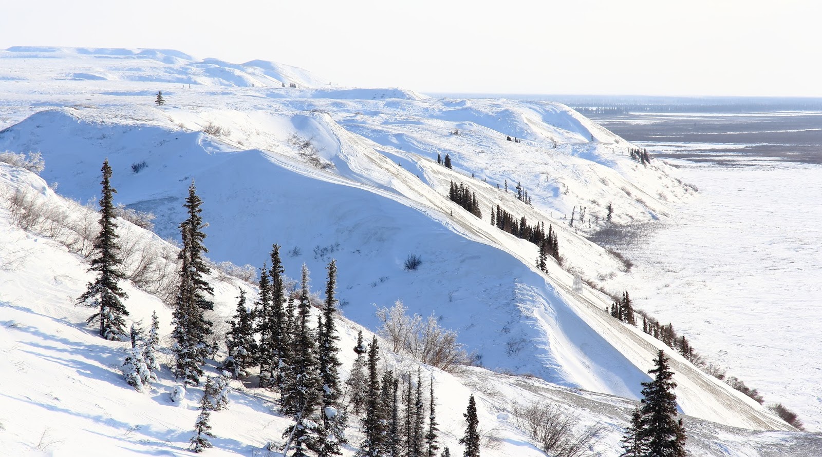
As usual the slope leads to the plateau that forms caribou Hills, as this is the southern end of the Hills there was more brush here than my ski spots further north, lots of crystal formation of the vegetation from a recent snowfall and metamorphosis. Some of it was reminiscent of coral structures, actually. Not much wildlife just some smaller birds which have come up from the south. Some people call them snowbirds here. After seeing what there was to see I locked the bindings and had some decent snow to run in right to the base of the Hill. Elevation differential all of 150 to 170m – a lot for here, lol.
Since the day became progressively clearer I drove further to another spot that I have a boot trail from last week – again some alright snow to turn on but not as good as last week – cold conditions and cold snow meant less glide, and the cornice had hardened up - so not much powder. These are the pix by the ice road and consequently why I have a boot trail here - easy access from the road. The south side of the ski slop here ws nice an sheltered from the wind and had some nice cornice formation and frost feathers on the trees. good place to hang out in the sun for a while.


So…drive north again, I figured I still had time to ski over to Growing Fast Pingo, as I still hadn’t made it over to that particular hydrolaccolith yet. I left the truck at 4 and with what looked like a bit of a front moving in on a fresh breeze I endeavored to progress with some alacrity.
This pingo was supposedly not visible from the location of the ice road in the 1800s but it certainly is now. The travel conditions on the Delta was good and less so on the land as sections of unsupportive snow cropped up making trail breaking a bit odious. There is some relief to the topography and I found a fair sized coulee required some fruitless elevation loos and gain getting over to the base of the Pingo. All this time I had a watchful eye on the southern skies as a cloud bank was building.
Ironically the snow on this pingo was deep enough to ski but I was on my light 3 pin as facilitate travel, knee to waist deep post holing got me to the top of Growing Fast, though the fractured nature of the pingo initially put me on the wrong section when I noticed a survey marker on a slightly higher knoll on the north end. The pingo is cratered with a ring of higher ground with a large subsidence in the middle – it looks like an overgrown frost heave – which hit is. A quick stint of more trail breaking put me at the true summit of this commanding geological structure, ha ha.
Per my other post there is some documentation on this pingo and some old and really old survey stakes adorn the top. It looks as though this pingo hasn’t been visited in quite some time and perhaps not since the last paper that was published on it. Check the reference here http://pubs.aina.ucalgary.ca/arctic/arctic34-3-270.pdf Took the usual pics and some shots of some exposed dirt, the surroundings and back down to the skis again. The ski out was much more reasonable as I had a track to follow. I got back to the truck in fading light and the cloud bank still comfortable south of my position. Coincidently the pingo is directly across from an abandoned supply station that w sued to store fuels – apparently not utilized anymore.


No comments:
Post a Comment