Showing posts with label Dolomite Lake. Show all posts

Tuesday, January 20, 2015

Weekend of Jan 15 2015

Interesting weekend in the Mackednzie Delta: I spent Saturday helping some friends cutting firewood just north of town, along the ice road to Aklavik / Tuktoyaktuk. We snowmobliled in then 3 of us cut while one person ferried loads of wood back to the trailer. I took a while to fine the chain for my chainsaw and at one point i thought it had been left down south but 2 chains eventually appeared after a trip to Arctic Rim to buy one – fortunately they didn’t have any 20 inch chains just piles of 18 inchers otherwise i would have ended up buying a new one then finding my chains at home, lol

We cut for about 2and a half hours and brought back approximately a full cord and a bit of wood. Lots of people think face cords are real cords, of course a face cord only 25% of a cord. I found some bigger trees which when cut (don’t really consider them to be felled as they are so stunted) looked to be in the 200 year range.

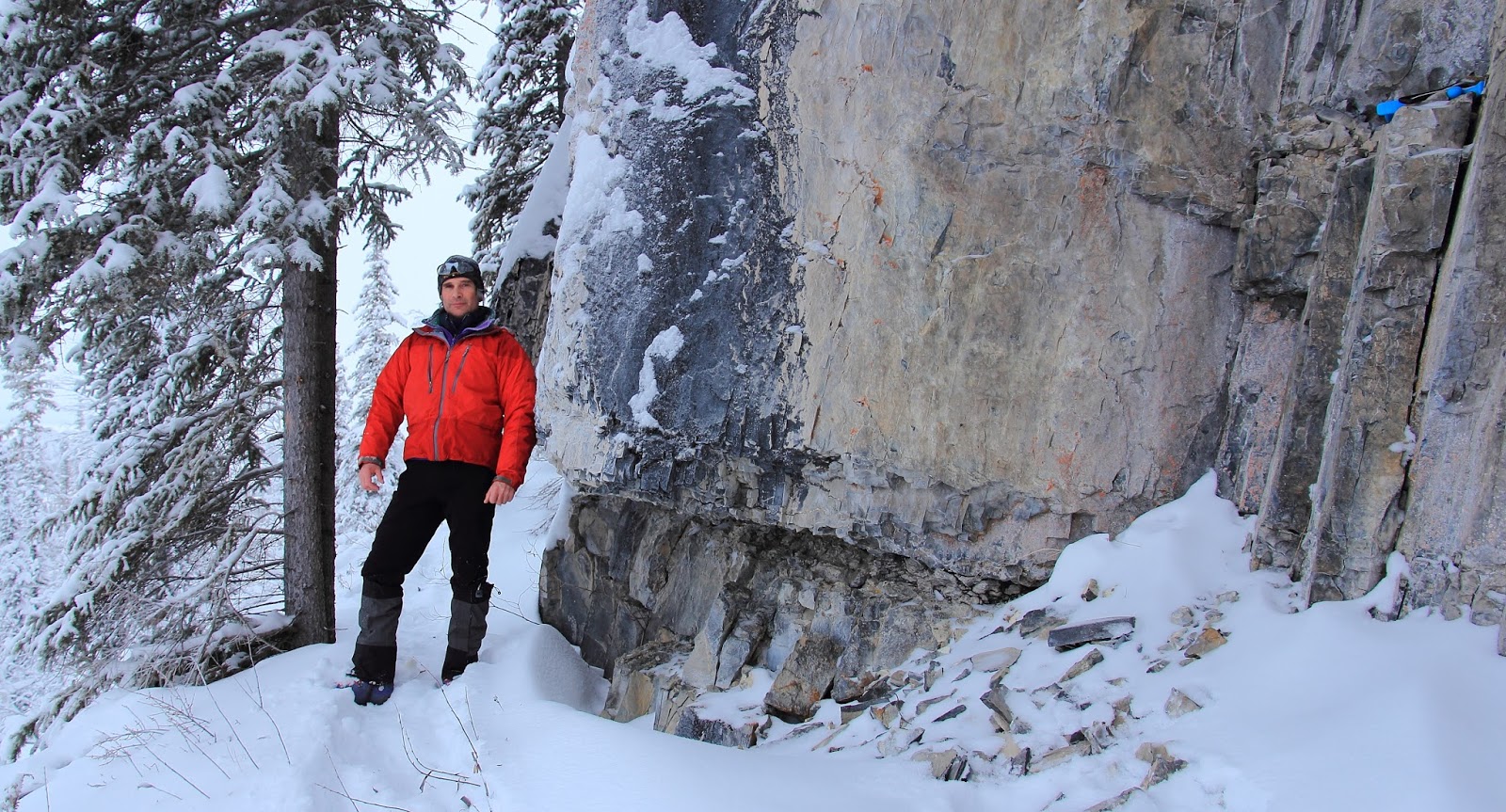
Sunday I headed over to my climbing area about twenty minutes south of town to break the trail in and check things out, snowy day but far less pack on the ground compared to last year. Things look good and time to start climbing now that the light is back.

Out on the highway by Campbell Creek Day Use Area, the Mackenzie Valley Fibre Optic Link project is forging south to connect a 48 strand line to Yellowknife so we don’t have to depend on the existing microwave link that is short on bandwidth and not all that reliable. The route will follow the 40 years old right of way that has been in place for the now defunct Mackenzie Valley pipeline and eventual highway. They have set a field camp at the creek and are plowing a right of way ahead of a commercial sized ditch witch which is laying the cable about 60cm down below the duff line.


For some reason a lone bike is residing out in the winter landscape.

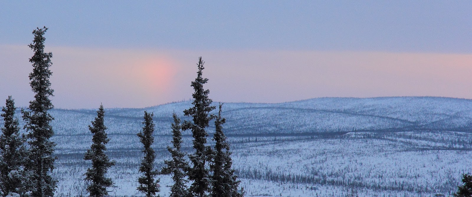
Later that day took the sled out for a spin out to the Inuvik Satellite Station Facility (nice sundog emulating a rainbow) via the Shell Lake trails then back through Airport Lake then the channel, which is open in places (!) to the Mackenzie.

From there i headed past the docks where a house that was being moved in the morning was precariously left perched on the river bank for a number of hours – can’t imagine that the framing was doing too well in that position. The Canadian Coast Guard motor vessel Eckaloo is berthed for the winter nearby.


Lastly I went up towards Noel Lake. The trail had been groomed since last week and was good sledding on a smooth track, found some deep drifts to play in on some of the lakes. Nice sunset on the way back.

Friday, June 13, 2014

Bits and pieces from before I was out of town for a week.

The old theater / restaurant / party shack finally burnt down after 5 tries. People had been getting into the empty building from underneath and reportedly a small fire inside got out of hand and up it went. They brought in a hoe from Northwind to knock the structure down, where it still sits to this day.

Few more birds in and around town and such. The barges are all getting ready for summer traffic and the hotel barge is now anchors in the river to receive guests for the petroleum show and the Inuit Circumpolar conference.

The tugs and pushes are starting to being taken out of winter shut down, though the gangway over to the pisuryak kootook leaves much to be desired. Workers had the engines fired up and seem to be getting ready to move the vessel somewhere.

Birds are migrating through with plenty of paired ducks looking for nesting sites. One has to question their strategy of situating in water that is near roads as locals find them rather tasty.


Also some shots near the territorial viewpoint – thunderheads are rather frequent this year, which is a bit peculiar for the Arctic.


..and a beat up chevy, how it got here from Alberta is anyone's guess, though it is sitting in the NTCL yards


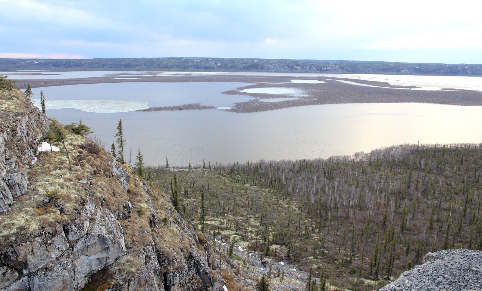
I hiked over to the base of the large cliff that is part of the Territorial viewpoint. I haven’t been over that way since the fall when the lake was starting freeze over. The summer access entails locating a treed gulley that leads down to the north of the main structure. While the gulley looked to be open terrain in the fall, from a vantage point at the bottom, it was rather choked with brush and downed trees – nothing drastic but surprisingly thick for here – likely due to water being funneled down it promoting more growth.

Regardless a quick trip to the base of the cliff revealed that it was much more chossy that it looked in the Fall. Certainly climbable rock but would require extensive cleaning, hence pointless. The south end is much more solid but also much less steep and discontinuous. Essentially the climbing area that I developed has turned out to be the best accessible rock around. There are lots of Falcons and other migratory birds nesting along the cliffs in general as well. I found a nice Falcon skull at the base of one section.

The lake is high and the base of the cliff on the south side is flooded. Campbell Lake exhibits a reverse Delta in the Spring as the level of the Mackenzie rises and spills into the lake as opposed to the lake draining into the Mackenzie. No walking along the shore right now. The water is tolerable and a quick dip is not out of the question if there is no wind.

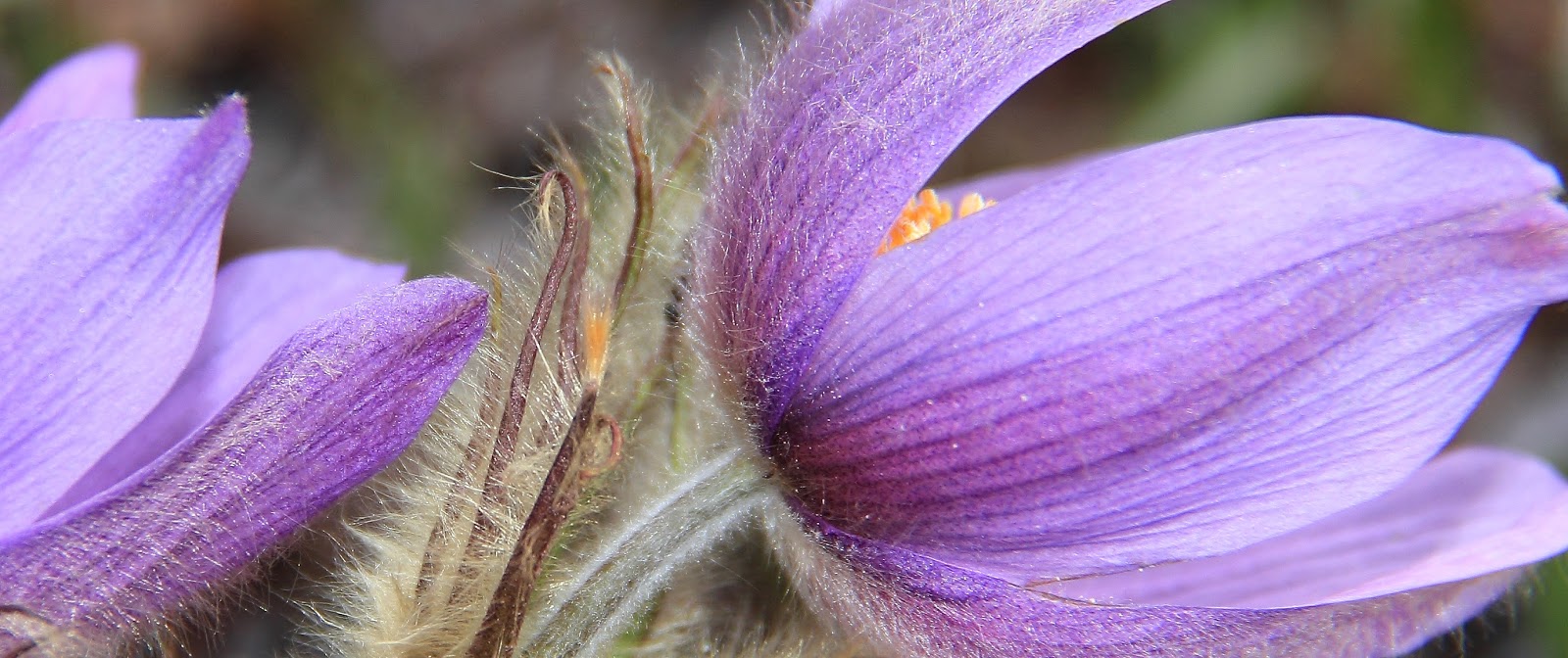
Lots of crocuses and other flowers are now blooming and happily not many bugs at all even though it was +22 on Saturday.