Inuvik, Place of Man, is currently the northern end of the Dempster Highway. It is a government town of an approximate population of 3200. It's been really muddy...
Wednesday, November 6, 2013
Sunday Nov 3, 2013, looking for more crags and more climbing
Clear all Saturday night and all day. I headed out a bit earlier and the temp in town was -9. as soon as I passé Jak Lake Park, about 3kms from town the temp dropped to -18, then -19 a few km further, no wind though. By the quarry where to road heads down to Campbell Creek the temp rose back to all -17 and -14 by the bridge (valley fog) then back to -18 by the Gwichen Territorial Park viewpoint. Drove past the park as I was looking for the “road” that is visible on Google Earth that gives access to the big cliff bands below the lookout on the lake. They are visible when you are heading north from the ferry crossing / Tsiigehtchic on the Dempster.
Found the cut though the brush after chasing some ptarmigan around for a bit. I decided to give them more than a fighting chance and tried to take with an open sighted 22 as they were flying; needless to say they are all still enjoying the bush. Couldn’t be bothered dragging out the shotgun
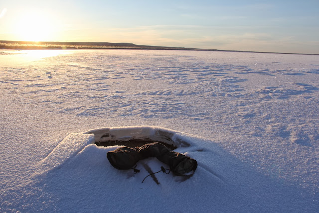
After parking I packed up some gear to potentially cross the lake and started down the cut which is obviously a winter trail only and looks suspiciously line an overgrown seismic line. The cut leads to a rough cabin by the shore of the lake; which is well down, if the wide shore is any indication, and well frozen at this location, about 10cm thick. A slight wind from the north on the lake and very high humidity; I could feel the cold even though it was only a -20 air temp. It was an easy walk over to the base of the cliffs. Ok rock, not as nice as the bluff I have been working on but definitely climbable. The steepest and longest section is a full 60m rope stretcher to the top. This part could easily be developed and gets good sun. Took some pix and put crampons on to head north along the base and check for possible crossing points. With the slight wind and extremely high humidity the cold became noticeable. Found open water on new, thin ice and no secure crossing options. Ice was cracking under my weight and making sounds day as the sheet was flexing under the varying thermal conditions and wind action. I headed back and sheltered by the cliff out of the wind and above the lake –big difference in thermal retention.
On the way back to the truck and on the edge of Campbell Lake I found some hoar frosted grass and vegetation. Nice crystal formations.
After lunch I went back to my main bluff and did a little more cleaning of brush then did a few more laps on the corner and started working some preliminary moves on another slabby section of the cliff. Temp here was 5 degrees warmer, no wind and far less humidity in the air – positively balmy after being down on the lake. It was possible to easily go bare handed while manipulating gear and light gloves for climbing. Quite the difference even though these two locations are a scant 3 or 4 kms apart, as the crow, or raven, flies.
Sunday morning, a little earlier, 10 AM, stopped by an interesting trail that heads off into the brush, car parked there so must be a cabin back some ways. Lots of rabbits.
The Gwichen Park viewpoint overlooking Campbell Lake in the evening
Labels:
Climbing. dempster Highway
Subscribe to:
Post Comments (Atom)


No comments:
Post a Comment