Travel was good as the track out to Noel and Jimmy Lakes was still well groomed. I didn’t stop and continued onto the shore of Husky Lakes. Since I was going to do a bit of exploring on Husky and Eskimo Lakes I decided terra firma was a better place to top up the gas in the machine than the lake ice – I kept hearing talk of areas of ice on Husky Lakes being thin and not freezing well, I had crossed sections of broken ice and small pressure ridges the last time I was out.
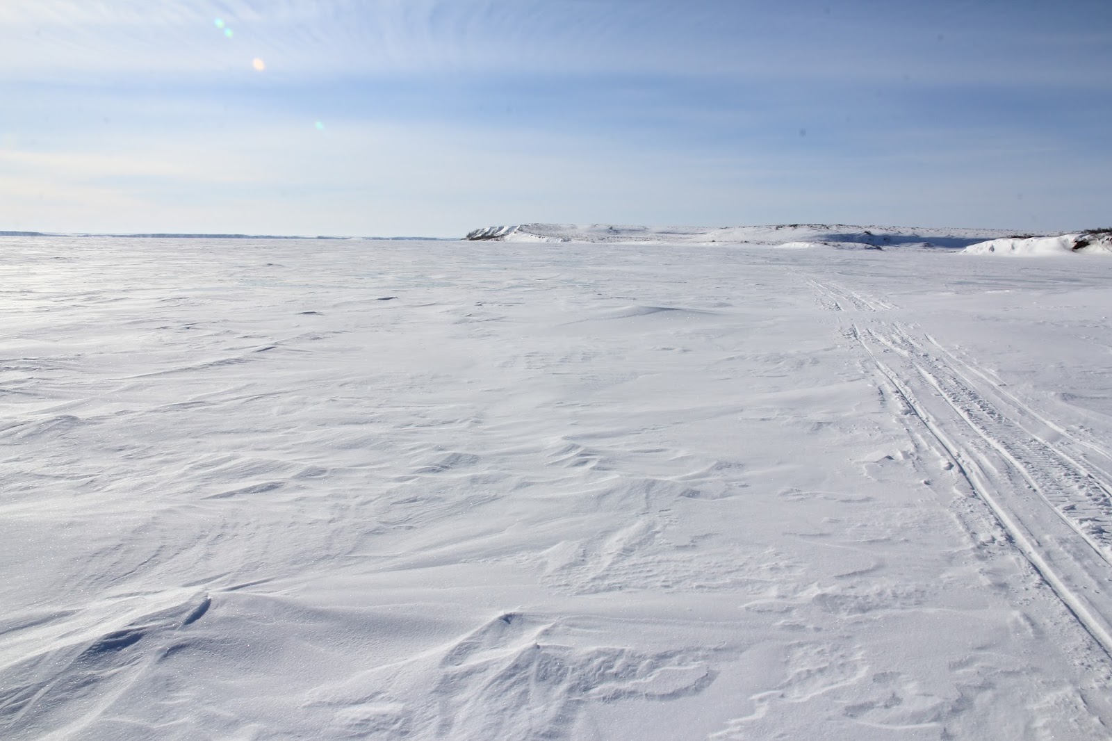
With the snowmobile full of gas and 2 stroke oil I picked up my faint track and headed northwest on the lake. In due time, I angled north hugging the western edge of the lake and passed my previous turn around point, that was marked by a shallow bay on the shoreline. I cut across the bay aiming for a spit on land that was an angled hill reminiscent of a sedimentary layer in the Rockies. This led me to more open part of the lake that was akin to a big white desert. Since I had time I decided to keep going and eventually saw a black shape on the horizon, I aimed for it and it eventually resolved into a cabin.
I stopped there as it would be a good spot for lunch and out of the wind. Nice spot with several pingos just north of the structure. I filled the snowmobile again and then checked the GPS. I was surprised to see that I had only been travelling for a little over 3 and half hours and was about 60kms from Tuk. I weighed my option and decided to go for Tuk. I still had 40 liters of fuel but I was mindful of the fact that the only gas pump in Tuk was at the Northern Store which closed at 7 PM or maybe 6, lol
I had my uploaded GPS track from my previous effort and located the next waypoint, which was the one that would take me off of the lake and back onto land. While travel on the lake was good to excellent the snow on the land was suspect and mainly metamorphosed depth hoar, so I was little concerned about getting stuck again as I turned off of Eskimo Lakes just north of the pingos. About 2 kms inland I came across survey makers and a fresh snowmobile track. Clear signs I was near the road construction, turning north on the track I followed over rolling ground until I saw an ice road crossing a larger lake. While, Obviously not part of the Inuvik Tuk highway it was part of the construction process and would have to lead somehow to Tuk. I followed it and about 20minutes later I met a dozer operator. He said that the road indeed would connect with the IT Highway and that I could follow it all the way to Tuk about 55 kms distant.
Turns out the ice road was put in to locate sources of gravel to sustain the road construction. I soon intersected the IT road near the camp for the workers. A good track was parallel the road but I was sure I was in the no travel zone but there was nothing to be done about it.
The road itself was being built from the camp heading north toward Tuk and the wind had blown masses of road finds (dirt, in this case) about a km from the road. The snow was covered in 2 to 4 cm of dirt which mixed into mud when disturbed by the track of the sled – fun.
I came to a second camp and stopped to talk to a person walking around. Turns out he was a wildlife monitor. He asked where I was coming from and perked up when I said Inuvik. He then talked to at length about how nice the trip is and the times that he had done it. He pointed me to a short cut into Tuk and said another 25 minutes should get me there – which it did.
I got to Tuk at 5:30, so a 5 and half hour trip from Inuvik. First things first I went and filled up at the North mart, grabbed a banana and some chips (dinner), and went over to the Trans Canada Trail marker for a few pix. I tough about camping and stating the night but my cell was dead and I didn’t want people to worry. Since I was in the area I wanted to explore around Ibyuk and Split Pingos a bit more and other near features, like the pingo cut in half by wave action and the massive ice exposure (exposed permafrost).
Since all this took me south of Tuk, I decided it would be prudent to just head home following the ice road. Nice and simple, no route finding, easy travel, well part of that’s true. The road itself was blown totally free of snow, therefore not conducive to snowmobile travel and the sea ice was bumpy as all heck. Things did not improve until I got near the Bar C station about 90 kms along. The quintessential tough sledding. I made it back to Inuvik about midnight so a 12 hour day and 384 kms.
Ps – my hair was still winter long ha ha, isn’t now


No comments:
Post a Comment